Battlefield Photo References
Rummaging through my boxes yesterday, I found by old back-up discs with my shots of Lewes when I walked the Downs in 2005. Could it have truly been that long ago? I took these photos with my old Canon Powershot S70 which is stitch-enabled to take panoramic shots. I copied them into my new computer drive and using Autostitch (instead of Canon Photostitch) found I got decent results. These photos are achieved by merging two photos only - one of my central shots is too misaligned to enable a proper match - I didn't use a tripod.
The first image is a view about half way up the Downs from Lewes toward the top where de Montefort's army formed up. As I interpret the battlefield to my left is the rise up which the centre and left wards of the Royal army ascended. The entire span of the approach is divided by a spine along which runs the track I walked, separating the left to wards from the Royal right flank both physically and visually.
Turning to my left, we see where the King and his brother took their troops from the town which most likely would not have sprawled into this view at the time of the battle. These are great colour references for my terrain. Just when I start to think my boards are too green or bright, I can look at these and calm down. Note the mid-point smear of grey/purple flowers and the white flowers on the high ground.
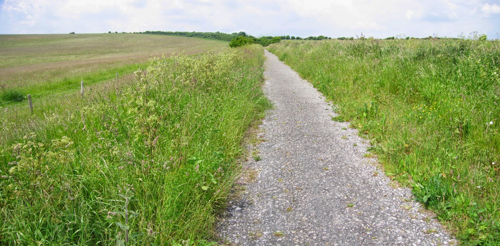
The main path straight up the Downs has been sealed but the colour scheme is very like the natural tracks elsewhere. Above is a shot taken when I explored past the top of the downs and to the side where I envisage much of the Baronial army made their way to the battle. It could very well be the same routes across which the broken Londoners were chased by Prince Henry's cavalry.
More of the woods to the Baronial rear. I have yet to decide if they will feature on my table-top. If at all, I'll represent them at the corner where the tracks leave at the top of the rise. It's all useful foliage references for me.
This last shot is not mine put taken from the web. It's another useful colour guide for the tracks and you may see why I started with a base coat of brown. The low shrubs are also handy. What beautiful country.


Comments